 xx
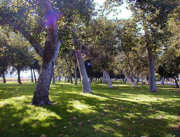
xx Griffith Park, northern bank of LAR
 xx
xx Griffith Park, northern bank of LAR, looking west
The extreme northern end of Griffith Park includes a small strip of land between the Northern bank of the LAR and Riverside Drive, just west of the Victory exit off the 134. Very quiet here, lots of horses. To the left is a horse trail that runs along the northern bank of the river.
 xx
xx
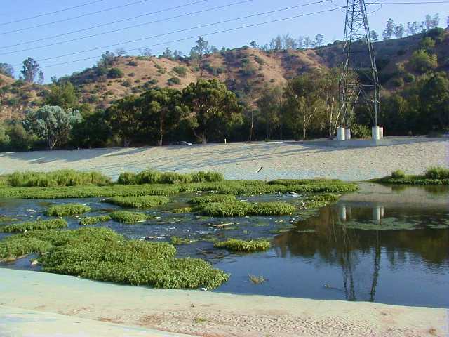
 Griffith Park, northern bank of LAR
 xx
xx
 LAR concrete bottom ends; begins dirt-bottom
The LAR becomes dirt bottom here, quite abruptly.
My understanding is the dirt bottom serves a practical
purpose; this is where the entire san fernando water
table is forced up to the surface by the bedrock.
Basically the bedrock forms an 'underground dam'
where the water table is forced to flow up and over it
here in Griffith Park, and then out into the LA
flood plain.
It is by necessity that they could not pave over this section of the river, as the upsurge of underground water would destroy the concrete bottom.
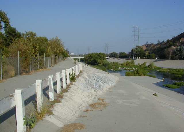
It is probably by no coincedence the walls become slanted here, presumably to allow the river flow to slow down a bit, so it doesn't tear up the dirt bottom during floods. Or perhaps just to make it safe for visitors to access the dirt bottom + greenery; certainly there is an entrance ramp here, and the public seems to be welcomed to this section, as the neighboring park has a walking path that guides to this ramp. Many people bring their kids and pets here to access the river bottom.
 xx
xx
 Ramp to riverbed, Griffith Park
Here's where one can access the 'folliated'
bottom of the river bed.
 xx
xx
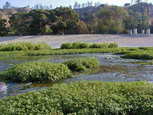
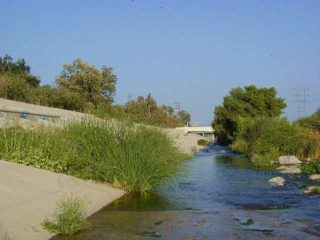
 Nature Scene, LAR dirt-bed, Griffith Park
This is the section of the river the naturalists like
to check out. There are a *lot* of ducks and birdlife
here. Hell, there's even trees. It's like a garden.
 xx
xx
 Nature Scene, LAR dirt-bed
I can see where sections like this inspire the FOLAR folks.
 xx
xx
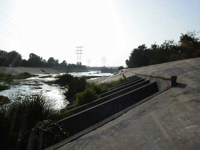
Nature Scene, LAR dirt-bed
Here's a full screen version of this shot.
 xx
xx
 Fins for Griffith Park storm drain
Looking upstream to the LAR/BFCC confluence.
 xx
xx
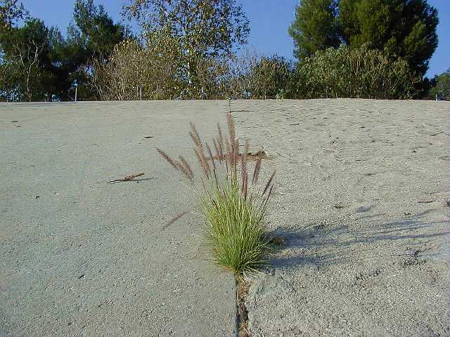
LAR Northern Wall
Here's where the walls transition from smooth (left) to rough (right).
 misc-25
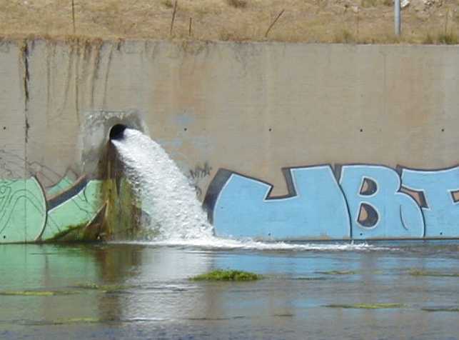
 Glendale LA Water Treatment Plant Effluent
This pipe is right below a water treatment plant near the Griffith Park
bike path, near where the 134 and 5 freeways meet.
Click here for a full screen of this image.
 xx
xx
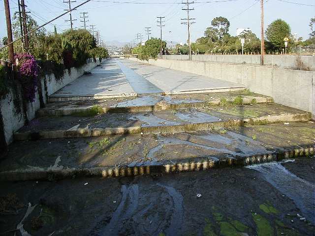
Verdugo Wash 'stairs' to LAR
Taken from the San Fernando bridge, near the intersection of the 134 and Interstate 5, Glendale.
 xx
xx
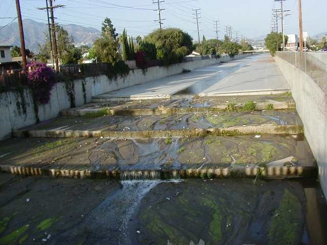
Verdugo Wash 'stairs' to LAR
It's interesting that there's only dirt debris along the stairs, but not along the flat river bed. I'm guessing the 'stairs' intentionally slow the water down during flood conditions before it 'squeezes' under the San Fernando Road overpass.
If I remember correctly, this tributary is unusual in that it flows straight into the LAR at a right angle, so the stairs may help prevent turbulence. Most other tributaries have their beds slowly align with the LAR's flow before they join, presumably to prevent turbulence.
 2-12
2-12
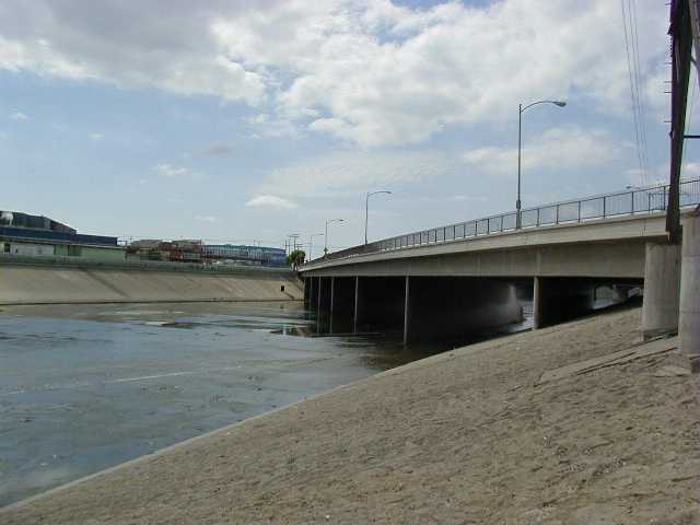
 Bandini Overpass, in Vernon
A very industrial section of East LA, just south of
Boyle Heights.
 2-14
2-14
 Vernon, looking south towards Atlantic Blvd(?)
Vast, Industrial, and Kafkaesque, this is one of the more
definitive sections of the river that brings about vast
concrete desolation.
 2-16
2-16
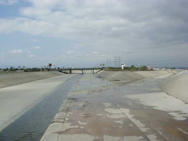
 Rio Hondo merges with LAR, South Gate.
Taken from the Imperial Overpass, looking north towards
an interchange made famous by an old automobile dealer commercial
from the late 80's.. I can almost see the bouncing ball as I type it;
"Call Pete Ellis Ford
..a mind-gnawing jingle sang by a whining chorus of kids. Those of you who
remember it, know what I mean.
Long Beach Free-way
Fire-stone ex-it
South-Gate."
Well, here is that famous Firestone Exit.
We're pretty far south at this point, and many rivers have merged into the LAR, so it's fairly deep and wide here. "A Vast Channel of Portland Cement".
That's all of the LA River for now... more to come.
If you've gotten this far, you might want to see
some miscellaneous industrial photos.
| Misc Industrial Photos... |  |
|
Back to my home page. All images on this page © Copyright 2000 Greg Ercolano. All rights reserved. |